Part of a newly designated 2,200 acre Secondary Plan Area, we were instrumental in developing community and neighbourhood strategies based on walkable, livable communities for approximately 500 acres of the total district. Further we were engaged by the stakeholders group, we coordinated the interface of community plans developed independently by each of the respective stakeholders.
The 100 acre parcel featured here was developed around a central park where the community plan provided walkable access from all districts of the neighbourhood.

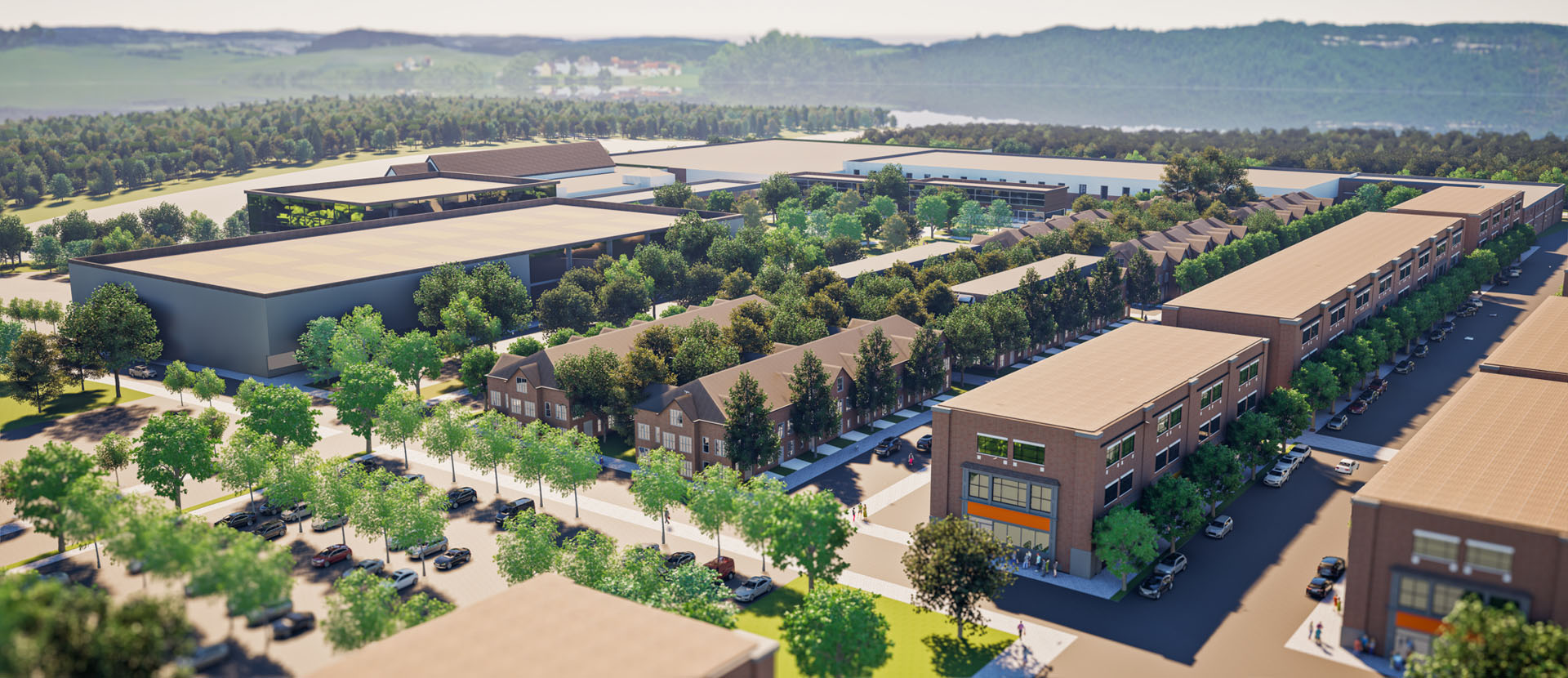
In defining principles for this new 165-acre community, we developed a Transportation, Infrastructure and Land Use Framework from which our core principles focused on creation of an integrated Community where residents experienced opportunities to live, work, shop and recreate while being provided access to essential support services such as schools, libraries and community centers. The urban form and development pattern reflects a modern interpretation of Denison’s historic downtown core.
Building a successful and vibrant community involved providing a diverse range of housing typologies accommodating a range of needs. Transitional land uses respond to current market demands while providing flexibility to adapt to future growth dynamics.
Comfortable transitions between densities and introducing commercial uses at grade consolidates main street character. Encouraging public access through a diverse network of open spaces and varied urban experiences established a natural hierarchy of open spaces, parks, promenades and urban squares.
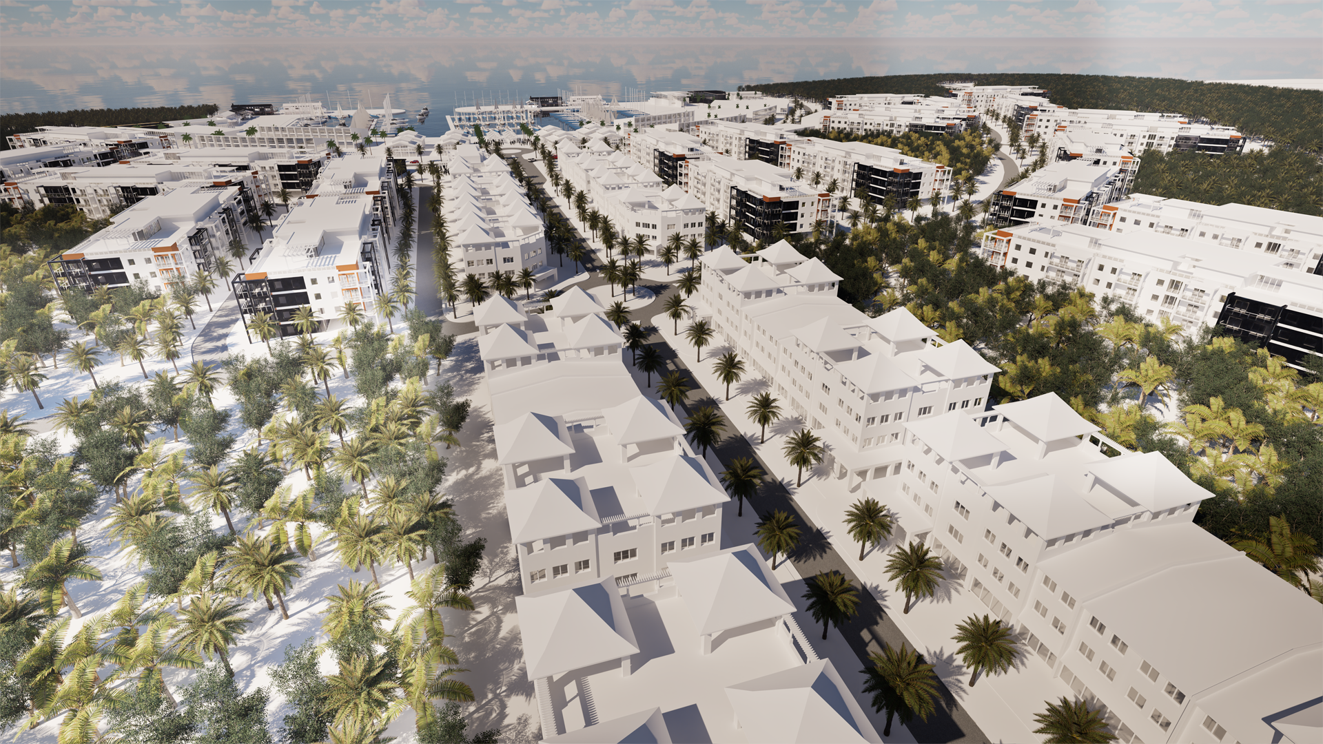
ARCHIPELAGO is an interruption to the status quo intended to demonstrate how, on a district scale, a community can be reimagined through an array of self-supporting, integrated, and interconnected Island Neighbourhoods suspended above the floodplain to promote a regenerative ecosystem on the lands below.
The concept promotes radical new approaches to housing typologies while integrating communal uses such as schools, nature interpretive and education centres, and sports facilities within the community. ARCHIPELAGO interrupts obsolete paradigms while providing inspiration to reimagining and transforming urban centres into true bio-cities.

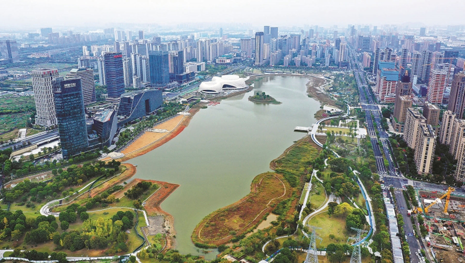
Collaborating with urban planners and the overall community, the organization for this new space featured a unique approach: establishing a community connecting parks and open areas. Through extensive consultation with collaborators, the hierarchy of open spaces, alignment, and connectivity of trails evolved to ensure a variety of experiences integrating the community.

The vision for this new residential district was a unique approach to traditional suburban development: recreating the needs and priorities of the future community. The centralized community promotes pedestrian circulation from residential enclaves to adjacent open space amenities. Within this planning framework, an innovative approach to street and lotting was developed.
